


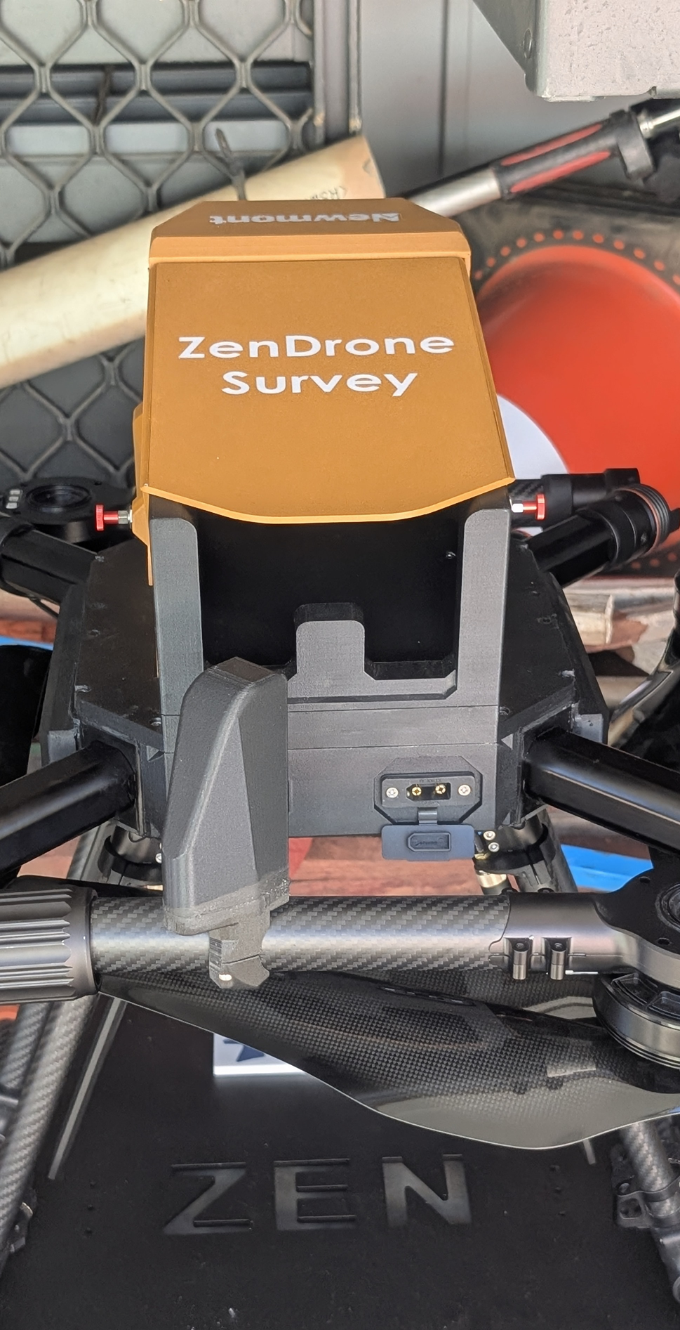
Zen Drone is an Australian made and ultra-high-endurance RTK mapping platform capable of up to 90 minutes flight time.
For more information please email: info@efrx.com.au


![[background image] image of urban sustainability initiatives](https://cdn.prod.website-files.com/image-generation-assets/79fabaeb-cb20-45ff-85b3-8d97f19941ce.avif)

![[background image] image of control panel (for an aviation service)](https://cdn.prod.website-files.com/image-generation-assets/b83f4327-4c1b-4350-831a-762b0eb19b31.avif)
Zen Drone is an Australian made and ultra-high-endurance RTK mapping platform capable of up to 90 minutes flight time.
For more information please email: info@efrx.com.au